aerial media for planning & infrastructure
FAA Part 107 Commercial UAS License
$1M+ Commercial Aviation Liability Insurance
4K Ultra-HD & High-Res DNG Deliverables
AICP Certified Planning Background

recent projects
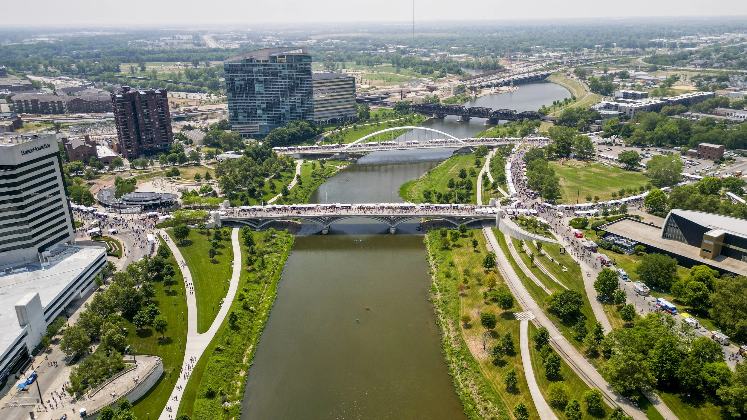
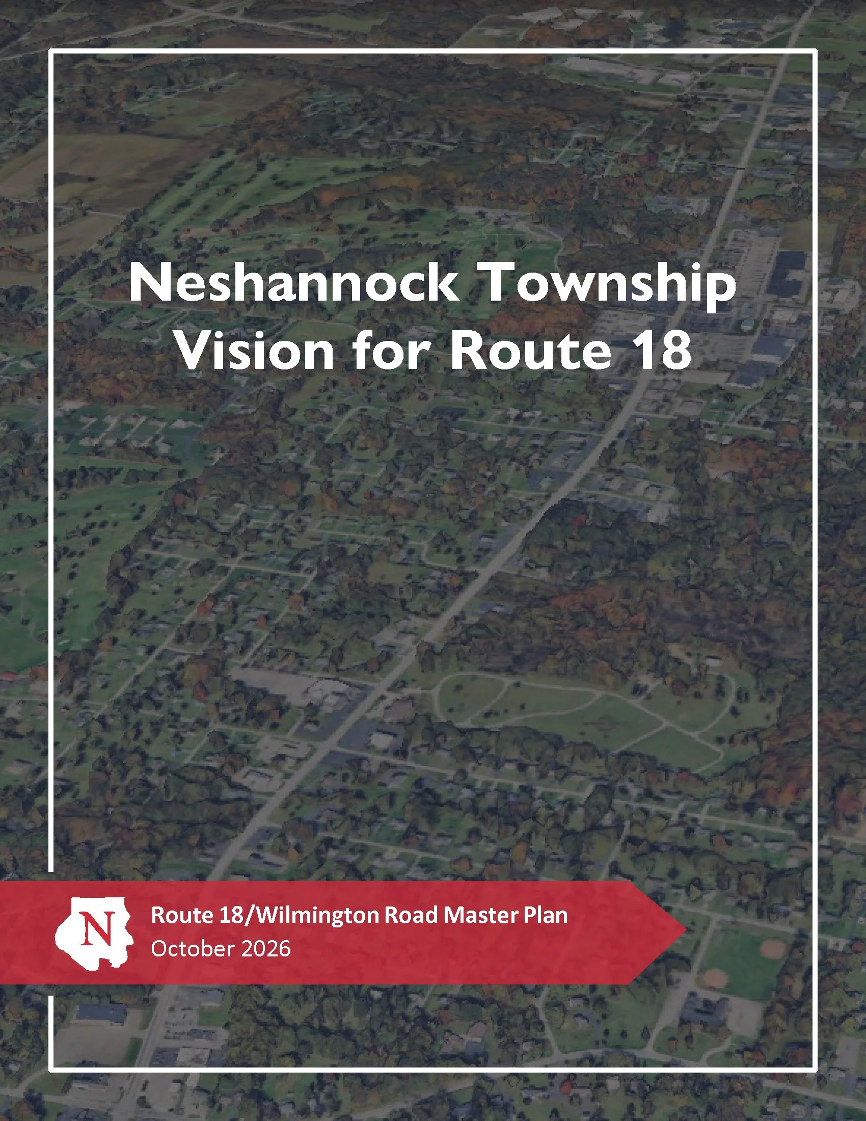
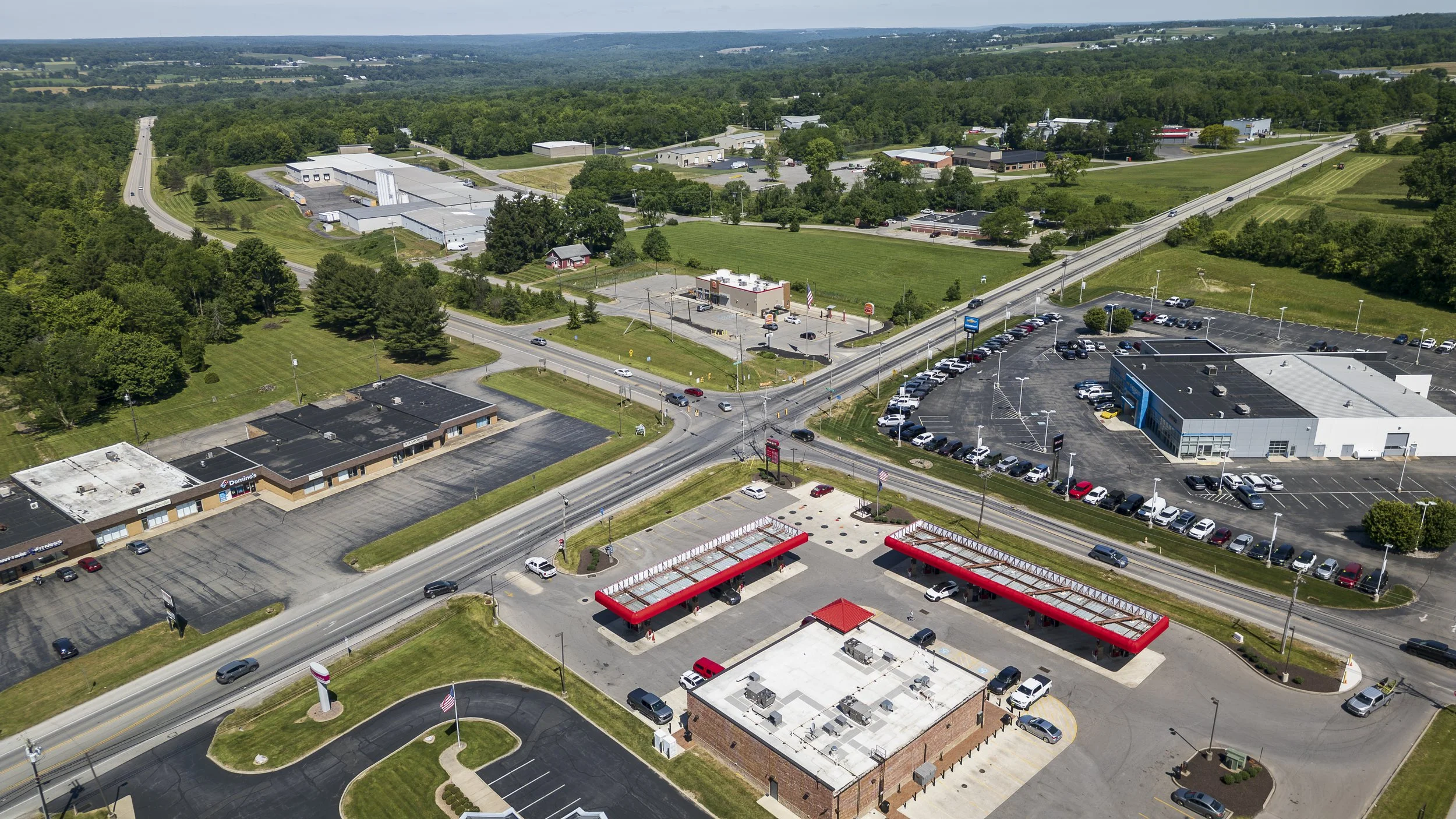
provided aerial imagery of the Route 18 commercial corridor to help evaluate existing conditions, plan future development potential, and supplement the “Route 18/Wilmington Road Master Plan”